H4969 : Donaghanie Road, Edenderry
taken 11 years ago, 5 km SE of Omagh, Co Tyrone, Northern Ireland
This is 1 of 13 images, with title Donaghanie Road, Edenderry in this square
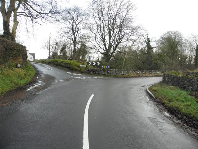
Donaghanie Road, Edenderry
Heading east and then turning right over The Leap bridge into Donaghanie
Branching off to the left is Leap Lane
Branching off to the left is Leap Lane
![Creative Commons Licence [Some Rights Reserved]](https://s1.geograph.org.uk/img/somerights20.gif)
|
· Find out How to reuse this image ·
Share:
|
|||||
| Start a discussion on H4969 | Suggest an update to this image | Contact the contributor | |||
Loading map... (JavaScript required)
- Grid Square
- H4969, 370 images (more nearby
 )
)
- Photographer
- Kenneth Allen (find more nearby)
- Date Taken
- Saturday, 29 December, 2012 (more nearby)
- Submitted
- Sunday, 30 December, 2012
- Geographical Context
- Subject Location
-
Irish:
 H 496 697 [100m precision]
WGS84: 54:34.4166N 7:14.0099W - Camera Location
-
Irish: H 496 697
- View Direction
- EAST (about 90 degrees)
Other Tags
Image classification(about):
Geograph
This page has been viewed about 14 times.
View this location:
KML (Google Earth) ·
Google Maps ·
Bing Maps ·
Geograph Coverage Map ·
More Links for this image
·
Bing Maps ·
Geograph Coverage Map ·
More Links for this image