2012
HY7041 : View across Cata Sand through the grass
taken 11 years ago, near to Overbister, Sanday, Orkney Islands, Scotland
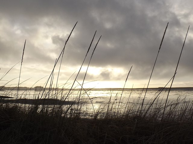
View across Cata Sand through the grass
 Map © Crown Copyright")
TIP: Click the map for more Large scale mapping
- Grid Square
- HY7041, 13 images (more nearby 🔍)
- Photographer
- Andy Turton (more nearby)
- Date Taken
- Monday, 24 December, 2012 (more nearby)
- Submitted
- Sunday, 13 January, 2013
- Subject Location
-
OSGB36:
 HY 7048 4102 [10m precision]
WGS84: 59:15.2813N 2:31.1631W - Camera Location
-
OSGB36: HY 7033 4132
- View Direction
- South-southeast (about 157 degrees)