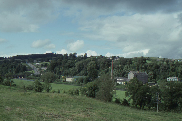
N9673 : Boyne Valley at Slane, from the south
taken 31 years ago, near to Slane, Co Meath, Ireland
![Creative Commons Licence [Some Rights Reserved]](https://s1.geograph.org.uk/img/somerights20.gif)
|
· Find out How to reuse this image ·
Share:
|
|||||
| Start a discussion on N9673 | Suggest an update to this image | Contact the contributor | |||
Loading map... (JavaScript required)
- Grid Square
- N9673, 14 images (more nearby
 )
)
- Photographer
- Christopher Hilton (find more nearby)
- Date Taken
- Sunday, 25 July, 1993 (more nearby)
- Submitted
- Saturday, 19 January, 2013
- Geographical Context
- River (from Tags)
- Subject Location
-
Irish:
 N 965 735 [100m precision]
WGS84: 53:42.1515N 6:32.3374W - Camera Location
-
Irish: N 966 732
- View Direction
- North-northwest (about 337 degrees)
Other Tags
This page has been viewed about 64 times.
View this location:
KML (Google Earth) ·
Google Maps ·
Bing Maps ·
Geograph Coverage Map ·
More Links for this image
·
Bing Maps ·
Geograph Coverage Map ·
More Links for this image