2012
SP0201 : Sheep Street
taken 11 years ago, near to Cirencester, Gloucestershire, England
This is 1 of 2 images, with title Sheep Street in this square
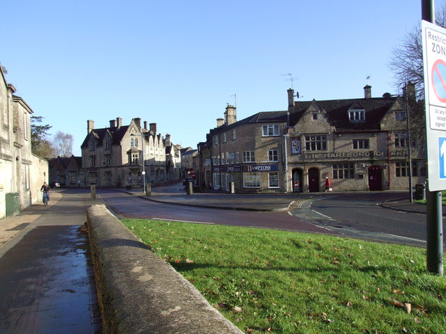
Sheep Street
Part of Cirencester's one way traffic system from Tetbury Road with Park Lane to the left. Castle street is to the left of centre of the photograph.
 Map © Crown Copyright")
TIP: Click the map for more Large scale mapping
- Grid Square
- SP0201, 401 images (more nearby 🔍)
- Photographer
- Dennis Turner (more nearby)
- Date Taken
- Friday, 23 November, 2012 (more nearby)
- Submitted
- Sunday, 20 January, 2013
- Subject Location
-
OSGB36:
 SP 0209 0192 [10m precision]
WGS84: 51:42.9603N 1:58.2689W - Camera Location
-
OSGB36: SP 0203 0191
- View Direction
- East-northeast (about 67 degrees)