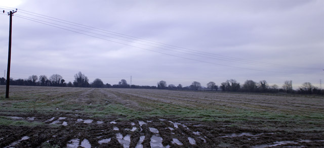
N9636 : Frosty Fields at Kilmacredock
taken 11 years ago, 3 km from Celbridge, Co Kildare, Ireland
![Creative Commons Licence [Some Rights Reserved]](https://s1.geograph.org.uk/img/somerights20.gif)
|
· Find out How to reuse this image ·
Share:
|
|||||
| Start a discussion on N9636 | Suggest an update to this image | Contact the contributor | |||
Loading map... (JavaScript required)
- Grid Square
- N9636 (more nearby
 )
)
- Photographer
- MBE21 (find more nearby)
- Date Taken
- Tuesday, 22 January, 2013 (more nearby)
- Submitted
- Friday, 25 January, 2013
- Geographical Context
- Subject Location
-
Irish:
 N 969 361 [100m precision]
WGS84: 53:22.0193N 6:32.7035W - Camera Location
-
Irish: N 969 363
- View Direction
- SOUTH (about 180 degrees)
This page has been viewed about 30 times.
View this location:
KML (Google Earth) ·
Google Maps ·
Bing Maps ·
Geograph Coverage Map ·
More Links for this image
·
Bing Maps ·
Geograph Coverage Map ·
More Links for this image