2007
NZ0727 : Public Bridleway
taken 17 years ago, near to Woodland, County Durham, England
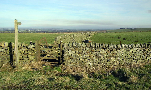
Public Bridleway
Bridleway following a dry stone wall, looking east-north east. Between Linburn Head and Crake Scar, crossing the source of Linburn Beck.
 Map © Crown Copyright")
TIP: Click the map for more Large scale mapping
- Grid Square
- NZ0727, 5 images (more nearby 🔍)
- Photographer
- Hugh Mortimer (more nearby)
- Date Taken
- Sunday, 4 February, 2007 (more nearby)
- Submitted
- Tuesday, 6 February, 2007
- Subject Location
-
OSGB36:
 NZ 074 275 [100m precision]
WGS84: 54:38.5752N 1:53.1741W - Camera Location
-
OSGB36: NZ 066 272
- View Direction
- East-northeast (about 67 degrees)