2012
TA3910 : Spurn Point
taken 12 years ago, near to Humber Pilot Station [other Features], East Riding of Yorkshire, Great Britain
This is 1 of 6 images, with title Spurn Point in this square
Spurn Point
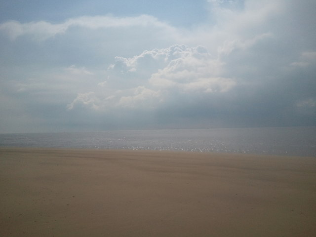
Sand, sea and cloudy sky. Taken while on a visit to a nearby Earthcache at Spurn Lighthouse GC2CHDB.
 Map © Crown Copyright")
TIP: Click the map for more Large scale mapping
- Grid Square
- TA3910, 182 images (more nearby 🔍)
- Photographer
- Hamish Allan (more nearby)
- Date Taken
- Saturday, 21 April, 2012 (more nearby)
- Submitted
- Thursday, 31 January, 2013
- Subject Location
-
OSGB36:
 TA 3977 1030 [10m precision]
WGS84: 53:34.2414N 0:6.5538E - Camera Location
-
OSGB36: TA 3979 1044
- View Direction
- SOUTH (about 180 degrees)