2013
SY8494 : Shitterton
taken 11 years ago, near to Bere Regis, Dorset, England
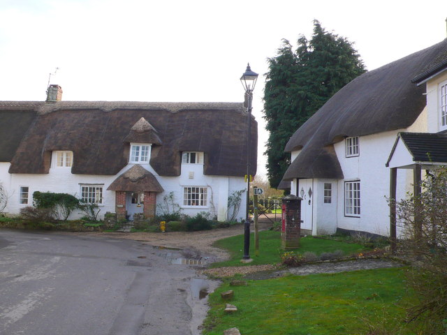
Shitterton
This hamlet at the north western end of bere Regis straddles four grid squares.
 Map © Crown Copyright")
TIP: Click the map for more Large scale mapping
- Grid Square
- SY8494, 133 images (more nearby 🔍)
- Photographer
- Nigel Mykura (more nearby)
- Date Taken
- Friday, 1 February, 2013 (more nearby)
- Submitted
- Monday, 4 February, 2013
- Subject Location
-
OSGB36:
 SY 8408 9496 [10m precision]
WGS84: 50:45.2410N 2:13.6228W - Camera Location
-
OSGB36: SY 8405 9498
- View Direction
- East-southeast (about 112 degrees)