2005
NS9361 : Railway Path
taken 18 years ago, near to Fauldhouse, West Lothian, Scotland
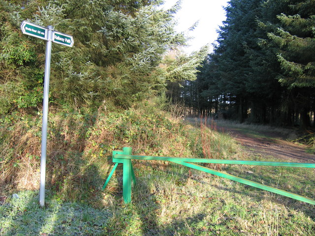
Railway Path
The Railway Path follows the alignment of a steeply-graded 19th-century private standard-gauge railway northwards through the woods and on to the edge of Fauldhouse Moor, where it served two large ironstone pits. The branch, which started near Fauldhouse North station, on the Edinburgh - Shotts - Glasgow line, was known as the Dixon's Pits Branch as the pits belonged to that well-known iromnaster with works (colloquially referred to as Dixon's Blazes after the flames from the blast furnaces) near Glasgow.
 Map © Crown Copyright")
TIP: Click the map for more Large scale mapping
- Grid Square
- NS9361, 19 images (more nearby 🔍)
- Photographer
- A-M-Jervis (more nearby)
- Date Taken
- Saturday, 17 December, 2005 (more nearby)
- Submitted
- Thursday, 7 February, 2013
- Subject Location
-
OSGB36:
 NS 9311 6109 [10m precision]
WGS84: 55:49.8700N 3:42.4828W - Camera Location
-
OSGB36: NS 9312 6106
- View Direction
- NORTH (about 0 degrees)