2013
NJ1245 : Ungeographed territory
taken 11 years ago, near to Cas na Smorrach [hill or Mountain], Moray, Great Britain
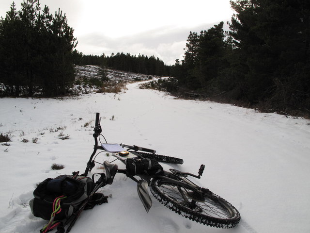
Ungeographed territory
Some clear felling lies ahead. It was time for a geographer to check the GPS.
 Map © Crown Copyright")
TIP: Click the map for more Large scale mapping
- Grid Square
- NJ1245, 3 images (more nearby 🔍)
- Photographer
- alan souter (more nearby)
- Date Taken
- Thursday, 7 February, 2013 (more nearby)
- Submitted
- Friday, 8 February, 2013
- Subject Location
-
OSGB36:
 NJ 126 458 [100m precision]
WGS84: 57:29.6490N 3:27.5174W - Camera Location
-
OSGB36: NJ 127 459
- View Direction
- South-southwest (about 202 degrees)