2007
SU1721 : Housing Development, Downton
taken 17 years ago, near to Downton, Wiltshire, England
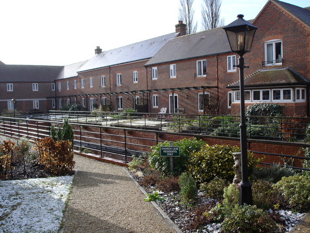
Housing Development, Downton
When the tannery closed, the associated sheds and yards were a prime site for development in the centre of the village.
 Map © Crown Copyright")
TIP: Click the map for more Large scale mapping
- Grid Square
- SU1721, 100 images (more nearby 🔍)
- Photographer
- Judith Green (more nearby)
- Date Taken
- Thursday, 8 February, 2007 (more nearby)
- Submitted
- Thursday, 8 February, 2007
- Subject Location
-
OSGB36:
 SU 178 216 [100m precision]
WGS84: 50:59.6437N 1:44.7962W - Camera Location
-
OSGB36: SU 178 216
- View Direction
- NORTH (about 0 degrees)