2010
TG4011 : Dredging, River Bure
taken 14 years ago, near to Acle, Norfolk, England
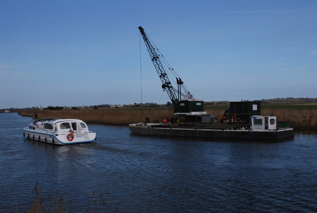
Dredging, River Bure
Dredging to keep the navigation channel clear. Undertaken by the Broads Authority and funded by tolls charged on all boats that use the river network.
 Map © Crown Copyright")
TIP: Click the map for more Large scale mapping
- Grid Square
- TG4011, 16 images (more nearby 🔍)
- Photographer
- Jeremy Halls (more nearby)
- Date Taken
- Friday, 9 April, 2010 (more nearby)
- Submitted
- Tuesday, 19 February, 2013
- Subject Location
-
OSGB36:
 TG 4083 1177 [10m precision]
WGS84: 52:39.0090N 1:33.5352E - Camera Location
-
OSGB36: TG 4086 1170
- View Direction
- North-northwest (about 337 degrees)