2013
SE0066 : Track to High Barn
taken 11 years ago, 3 km from Conistone, North Yorkshire, England
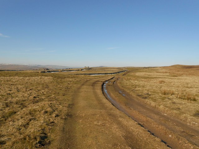
Track to High Barn
 Map © Crown Copyright")
TIP: Click the map for more Large scale mapping
- Grid Square
- SE0066, 70 images (more nearby 🔍)
- Photographer
- John Sparshatt (more nearby)
- Date Taken
- Wednesday, 27 February, 2013 (more nearby)
- Submitted
- Wednesday, 27 February, 2013
- Subject Location
-
OSGB36:
 SE 0085 6685 [10m precision]
WGS84: 54:5.8528N 1:59.3098W - Camera Location
-
OSGB36: SE 0095 6674
- View Direction
- Northwest (about 315 degrees)