Q7809 : Curraheen River
taken 11 years ago, 5 km SW of Blennerville, Co Kerry, Ireland
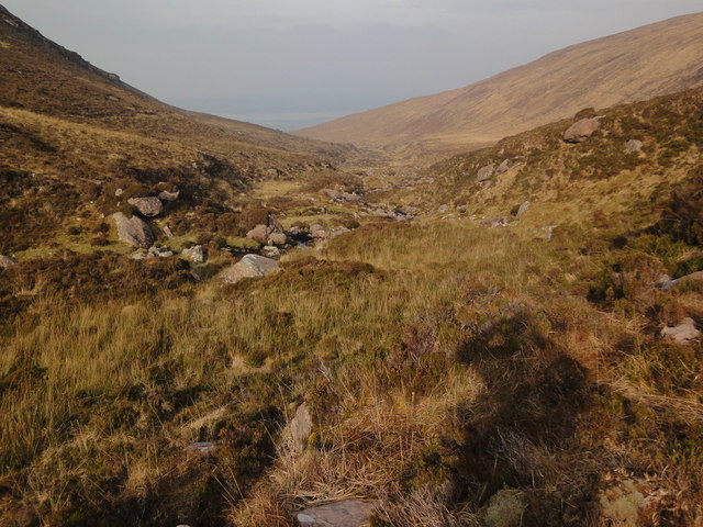
Curraheen River
Just crossed the river from a trail seen in the top left section of the photo above the stream.
There is a wonderful wild feeling to this area as there is no fencing unlike the crazy constructions to the west of these mountains.
There is a wonderful wild feeling to this area as there is no fencing unlike the crazy constructions to the west of these mountains.
![Creative Commons Licence [Some Rights Reserved]](https://s1.geograph.org.uk/img/somerights20.gif)
|
· Find out How to reuse this image ·
Share:
|
|||||
| Start a discussion on Q7809 | Suggest an update to this image | Contact the contributor | |||
Loading map... (JavaScript required)
- Grid Square
- Q7809 (more nearby
 )
)
- Photographer
- Keith Cunneen (find more nearby)
- Date Taken
- Thursday, 28 February, 2013 (more nearby)
- Submitted
- Tuesday, 5 March, 2013
- Geographical Context
- Subject Location
-
Irish:
 Q 781 094 [100m precision]
WGS84: 52:13.4442N 9:47.0061W - Camera Location
-
Irish: Q 781 091
- View Direction
- NORTH (about 0 degrees)
This page has been viewed about 44 times.
View this location:
KML (Google Earth) ·
Google Maps ·
Bing Maps ·
Geograph Coverage Map ·
More Links for this image
·
Bing Maps ·
Geograph Coverage Map ·
More Links for this image