2013
NX8453 : Rough Island and the causeway
taken 11 years ago, near to Rockcliffe, Dumfries And Galloway, Scotland
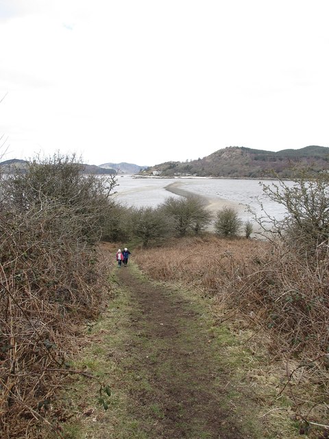
Rough Island and the causeway
The well-worn path to the top of Rough Island, with the causeway from Kippford in the background.
 Map © Crown Copyright")
TIP: Click the map for more Large scale mapping
- Grid Square
- NX8453, 199 images (more nearby 🔍)
- Photographer
- David Robertson (more nearby)
- Date Taken
- Friday, 5 April, 2013 (more nearby)
- Submitted
- Friday, 5 April, 2013
- Subject Location
-
OSGB36:
 NX 8428 5336 [10m precision]
WGS84: 54:51.6959N 3:48.2633W - Camera Location
-
OSGB36: NX 8432 5329
- View Direction
- North-northwest (about 337 degrees)