J3773 : The Ballyhackamore Working Men's Institute and Club, Belfast
taken 11 years ago, 4 km E of Belfast, Co Antrim, Northern Ireland
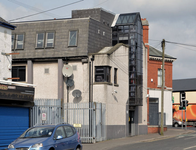
The Ballyhackamore Working Men's Institute and Club, Belfast
A social club at the Upper Newtownards Road end of the Sandown Road. The building is modern but the 1901 street directory shows Working Men's Institute - H. Windrim, caretaker.
![Creative Commons Licence [Some Rights Reserved]](https://s1.geograph.org.uk/img/somerights20.gif)
|
· Find out How to reuse this image ·
Share:
|
|||||
|
There is 1 post in a
discussion on J3773 (preview on the left) |
Suggest an update to this image | Contact the contributor | |||
Loading map... (JavaScript required)
- Grid Square
- J3773, 403 images (more nearby
 )
)
- Photographer
- Albert Bridge (find more nearby)
- Date Taken
- Monday, 8 April, 2013 (more nearby)
- Submitted
- Monday, 8 April, 2013
- Geographical Context
- Subject Location
-
Irish:
 J 377 739 [100m precision]
WGS84: 54:35.6949N 5:52.1444W - Camera Location
-
Irish: J 378 739
- View Direction
- Northwest (about 315 degrees)
Other Tags
Image classification(about):
Geograph
This page has been viewed about 216 times.
View this location:
KML (Google Earth) ·
Google Maps ·
Bing Maps ·
Geograph Coverage Map ·
More Links for this image
·
Bing Maps ·
Geograph Coverage Map ·
More Links for this image