J3674 : Bloomfield Avenue development site, Belfast (2013-1)
taken 11 years ago, 3 km from Belfast, Co Antrim, Northern Ireland
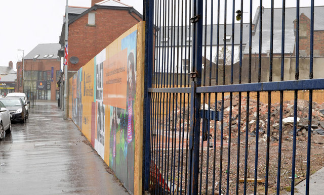
Bloomfield Avenue development site, Belfast (2013-1)
See J3674 : Bloomfield Avenue development site, Belfast (November 2011). The derelict garage has now been demolished.
Development site, 6 Bloomfield Avenue, Belfast
A vacant site, on the north eastern side of Bloomfield Avenue, close to the Newtownards Road. There does not seem (August 2015) to be any existing planning permission. The photographs submitted by me appear as a matter of record only. I have no connection with any of the parties involved in the sale or development of the site and cannot enter in correspondence on the subject.
![Creative Commons Licence [Some Rights Reserved]](https://s1.geograph.org.uk/img/somerights20.gif)
|
· Find out How to reuse this image ·
Share:
|
|||||
| Start a discussion on J3674 | Suggest an update to this image | Contact the contributor | |||
Loading map... (JavaScript required)
- Grid Square
- J3674, 822 images (more nearby
 )
)
- Photographer
- Albert Bridge (find more nearby)
- Date Taken
- Thursday, 11 April, 2013 (more nearby)
- Submitted
- Thursday, 11 April, 2013
- Geographical Context
- Subject Location
-
Irish:
 J 364 741 [100m precision]
WGS84: 54:35.8350N 5:53.3720W - Camera Location
-
Irish: J 364 741
- View Direction
- North-northwest (about 337 degrees)
Other Tags
Image classification(about):
Geograph
This page has been viewed about 57 times.
View this location:
KML (Google Earth) ·
Google Maps ·
Bing Maps ·
Geograph Coverage Map ·
More Links for this image
·
Bing Maps ·
Geograph Coverage Map ·
More Links for this image