2007
SE3017 : Calder & Hebble Navigation, at the Navigation Inn
taken 17 years ago, near to Crigglestone, Wakefield, England
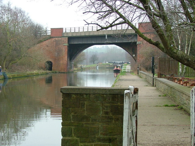
Calder & Hebble Navigation, at the Navigation Inn
 Map © Crown Copyright")
TIP: Click the map for more Large scale mapping
- Grid Square
- SE3017, 163 images (more nearby 🔍)
- Photographer
- Nigel Homer (more nearby)
- Date Taken
- Monday, 19 February, 2007 (more nearby)
- Submitted
- Monday, 19 February, 2007
- Subject Location
-
OSGB36:
 SE 304 171 [100m precision]
WGS84: 53:38.9823N 1:32.4941W - Camera Location
-
OSGB36: SE 304 171
- View Direction
- West-southwest (about 247 degrees)