2013
SK0306 : Remains of Railway Bridge, Chester Road North
taken 11 years ago, near to Clayhanger, Walsall, England
Remains of Railway Bridge, Chester Road North
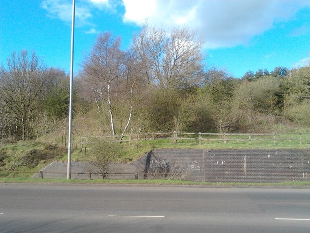
View from side of Chester Road North looking directly at remains of railway bridge, beyond which was once Brownhills (Watling Street) Station.
Compare this to SK0306 : Site of Brownhills (Watling Street) Station. The modern-day lamp-post is almost exactly situated at the same location as that shown in old photo. Also notice the remains of the original metal fencing behind the lamp-post. Amongst the trees was once the station.
The trackbed in the trees and station site is now a wide grassy area, and is part of the Beacon Way, that heads north towards A5 Watling Street and Chasewater.
 Map © Crown Copyright")
TIP: Click the map for more Large scale mapping
- Grid Square
- SK0306, 45 images (more nearby 🔍)
- Photographer
- Michael Westley (more nearby)
- Date Taken
- Friday, 26 April, 2013 (more nearby)
- Submitted
- Wednesday, 1 May, 2013
- Subject Location
-
OSGB36:
 SK 038 061 [100m precision]
WGS84: 52:39.2002N 1:56.6359W - Camera Location
-
OSGB36: SK 038 061
- View Direction
- Northeast (about 45 degrees)