2007
NZ0446 : Along the dam
taken 17 years ago, near to Waskerley, County Durham, England
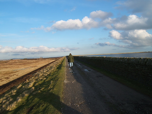
Along the dam
Smiddy Shaw Reservoir is unusual in that its earthen dam turns back at right angles when at the highest point of the dam.
 Map © Crown Copyright")
TIP: Click the map for more Large scale mapping
- Grid Square
- NZ0446, 49 images (more nearby 🔍)
- Photographer
- David Collins (more nearby)
- Date Taken
- Sunday, 18 February, 2007 (more nearby)
- Submitted
- Wednesday, 21 February, 2007
- Subject Location
-
OSGB36:
 NZ 043 464 [100m precision]
WGS84: 54:48.7573N 1:56.0771W - Camera Location
-
OSGB36: NZ 040 463
- View Direction
- East-northeast (about 67 degrees)