G9889 : Corabber River
taken 11 years ago, 7 km NNW of Barnesmore, Co Donegal, Ireland
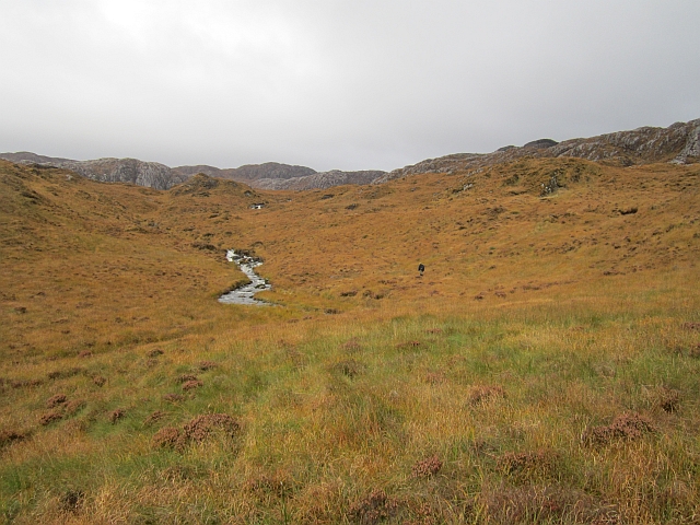
Corabber River
Tough boggy terrain below Lough Belshade. This is one of the toughest hill areas that I have ever encountered. One for those who find Galloway and Jura too easy. Rewarding though.
![Creative Commons Licence [Some Rights Reserved]](https://s1.geograph.org.uk/img/somerights20.gif)
|
· Find out How to reuse this image ·
Share:
|
|||||
| Start a discussion on G9889 | Suggest an update to this image | Contact the contributor | |||
Loading map... (JavaScript required)
- Grid Square
- G9889, 4 images (more nearby
 )
)
- Photographer
- Richard Webb (find more nearby)
- Date Taken
- Friday, 19 October, 2012 (more nearby)
- Submitted
- Friday, 17 May, 2013
- Geographical Context
- Subject Location
-
Irish:
 G 983 890 [100m precision]
WGS84: 54:44.9860N 8:1.6197W - Camera Location
-
Irish: G 983 890
- View Direction
- North-northwest (about 337 degrees)
Other Tags
Image classification(about):
Geograph
This page has been viewed about 44 times.
View this location:
KML (Google Earth) ·
Google Maps ·
Bing Maps ·
Geograph Coverage Map ·
More Links for this image
·
Bing Maps ·
Geograph Coverage Map ·
More Links for this image