2013
NM9093 : Druim Coire nan Laogh
taken 11 years ago, near to Lochan a' Mhaim [water Feature], Highland, Great Britain
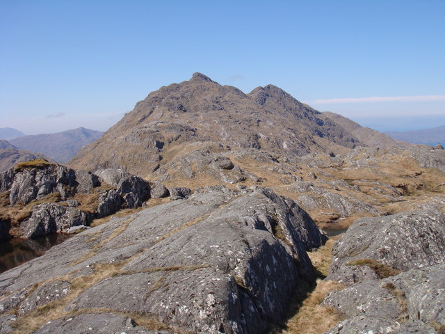
Druim Coire nan Laogh
View from Meall na Sroine towards Bidein a' Chabair and Sgurr na h-Aide
 Map © Crown Copyright")
TIP: Click the map for more Large scale mapping
- Grid Square
- NM9093, 6 images (more nearby 🔍)
- Photographer
- Sally (more nearby)
- Date Taken
- Thursday, 30 May, 2013 (more nearby)
- Submitted
- Thursday, 6 June, 2013
- Subject Location
-
OSGB36:
 NM 9052 9380 [10m precision]
WGS84: 56:59.2645N 5:26.9754W - Camera Location
-
OSGB36: NM 9062 9386
- View Direction
- West-southwest (about 247 degrees)