2011
TQ3080 : London - Kings Reach
taken 12 years ago, near to London, The City of London, England
This is 1 of 172 images, with title starting with London in this square
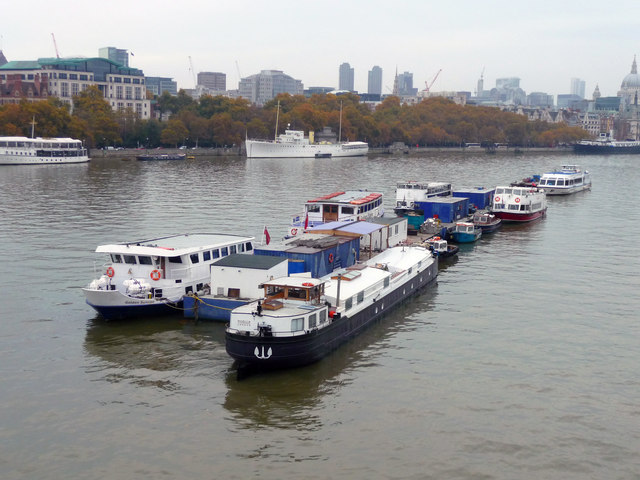
London - Kings Reach
This part of the Thames is known as Kings Reach.
 Map © Crown Copyright")
TIP: Click the map for more Large scale mapping
- Grid Square
- TQ3080, 6977 images (more nearby 🔍)
- Photographer
- Chris Talbot (more nearby)
- Date Taken
- Saturday, 5 November, 2011 (more nearby)
- Submitted
- Sunday, 16 June, 2013
- Subject Location
-
OSGB36:
 TQ 3085 8054 [10m precision]
WGS84: 51:30.5189N 0:6.9548W - Camera Location
-
OSGB36: TQ 3079 8051
- View Direction
- East-northeast (about 67 degrees)