2007
NS6126 : Floodplain of R. Ayr
taken 17 years ago, near to Limmerhaugh Muir, East Ayrshire, Scotland
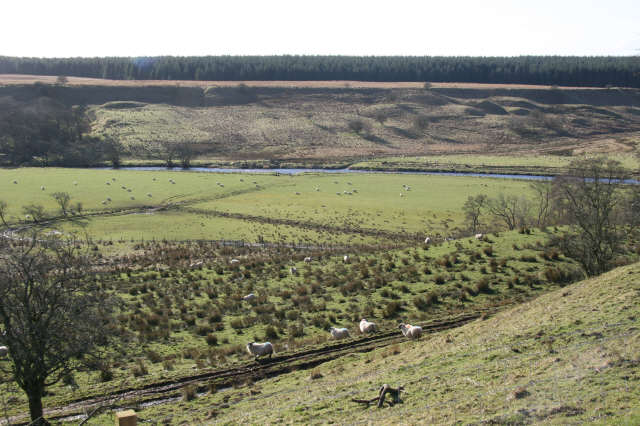
Floodplain of R. Ayr
There is a marked contrast between the mainly improved grassland of the floodplain and the rough grazing of the higher river terrace surface on the opposite side of the river.Deciduous trees and bushes grow along the edge of the river and on the steep slope of the river terrace on the north side of the river. Because of the tendency of the soil here to become waterlogged, rushes can quickly take over the improved grassland unless constantly cut back.
 Map © Crown Copyright")
TIP: Click the map for more Large scale mapping
- Grid Square
- NS6126, 30 images (more nearby 🔍)
- Photographer
- Bob Forrest (more nearby)
- Date Taken
- Monday, 26 February, 2007 (more nearby)
- Submitted
- Saturday, 3 March, 2007
- Subject Location
-
OSGB36:
 NS 613 265 [100m precision]
WGS84: 55:30.7935N 4:11.8742W - Camera Location
-
OSGB36: NS 611 268
- View Direction
- Southeast (about 135 degrees)