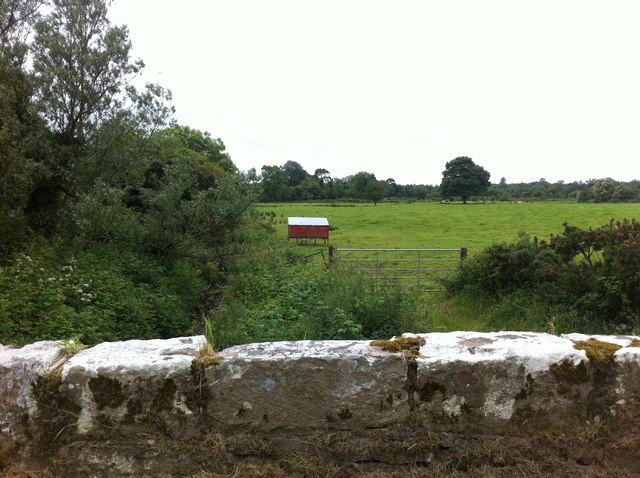
N2181 : Farmland, Soran, Longford
taken 11 years ago, near to Ballinalee, Co Longford, Ireland
![Creative Commons Licence [Some Rights Reserved]](https://s1.geograph.org.uk/img/somerights20.gif)
|
· Find out How to reuse this image ·
Share:
|
|||||
| Start a discussion on N2181 | Suggest an update to this image | Contact the contributor | |||
Loading map... (JavaScript required)
- Grid Square
- N2181 (more nearby
 )
)
- Photographer
- Darrin Antrobus (find more nearby)
- Date Taken
- Wednesday, 3 July, 2013 (more nearby)
- Submitted
- Monday, 8 July, 2013
- Geographical Context
- Subject Location
-
Irish:
 N 219 818 [100m precision]
WGS84: 53:47.1707N 7:40.0911W - Camera Location
-
Irish: N 219 819
- View Direction
- South-southwest (about 202 degrees)
This page has been viewed about 29 times.
View this location:
KML (Google Earth) ·
Google Maps ·
Bing Maps ·
Geograph Coverage Map ·
More Links for this image
·
Bing Maps ·
Geograph Coverage Map ·
More Links for this image