T0733 : Gateway into fields near Ballybeg
taken 11 years ago, 4 km S of Ballaghkeen, Co Wexford, Ireland
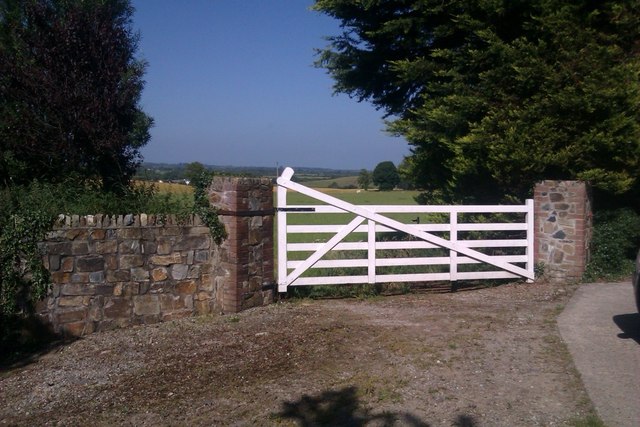
Gateway into fields near Ballybeg
A gateway into a farm field. The gate is on a trackway that forms part of a 1798 Heritage walk to Oulart Hill where a decisive battle took place in the 1798 rebellion.
![Creative Commons Licence [Some Rights Reserved]](https://s1.geograph.org.uk/img/somerights20.gif)
|
· Find out How to reuse this image ·
Share:
|
|||||
| Start a discussion on T0733 | Suggest an update to this image | Contact the contributor | |||
Loading map... (JavaScript required)
- Grid Square
- T0733 (more nearby
 )
)
- Photographer
- Hywel Williams (find more nearby)
- Date Taken
- Saturday, 6 July, 2013 (more nearby)
- Submitted
- Wednesday, 10 July, 2013
- Geographical Context
- Subject Location
-
Irish:
 T 079 334 [100m precision]
WGS84: 52:26.5597N 6:24.8273W - Camera Location
-
Irish: T 079 334
- View Direction
- East-northeast (about 67 degrees)
This page has been viewed about 76 times.
View this location:
KML (Google Earth) ·
Google Maps ·
Bing Maps ·
Geograph Coverage Map ·
More Links for this image
·
Bing Maps ·
Geograph Coverage Map ·
More Links for this image