J2661 : Ravernet Road
taken 17 years ago, 3 km from Lisburn, Co Antrim, Northern Ireland
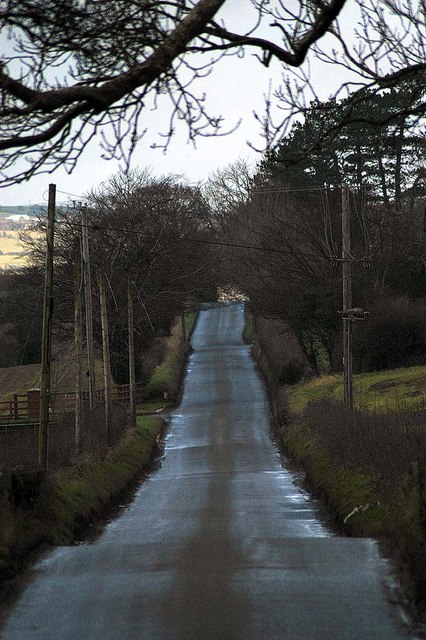
Ravernet Road
The Ravarnet Road, made from the entrance of the Huhtamaki factory
![Creative Commons Licence [Some Rights Reserved]](https://s1.geograph.org.uk/img/somerights20.gif)
|
· Find out How to reuse this image ·
Share:
|
|||||
| Start a discussion on J2661 | Suggest an update to this image | Contact the contributor | |||
Loading map... (JavaScript required)
- Grid Square
- J2661, 20 images (more nearby
 )
)
- Photographer
- Wilson Adams (find more nearby)
- Date Taken
- Saturday, 27 January, 2007 (more nearby)
- Submitted
- Tuesday, 6 March, 2007
- Category
- Road > Road (more nearby)
- Subject Location
-
Irish:
 J 26 61 [1000m precision]
WGS84: 54:29.1705N 6:2.9288W
Image classification(about):
Geograph
This page has been viewed about 84 times.
View this location:
KML (Google Earth) ·
Google Maps ·
Bing Maps ·
Geograph Coverage Map ·
More Links for this image
·
Bing Maps ·
Geograph Coverage Map ·
More Links for this image