2006
TA0167 : Farm track above Langtoft
taken 18 years ago, near to Langtoft, East Riding of Yorkshire, England
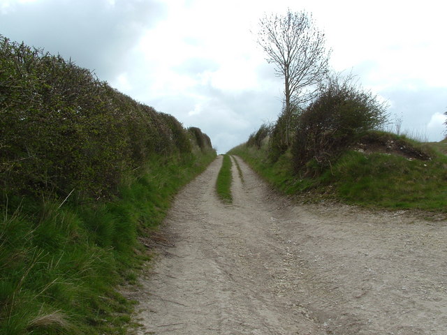
Farm track above Langtoft
This probably qualifies as a 'sunken road'- a deep trackway worn by generations of wheels, hooves, wind and rain.
 Map © Crown Copyright")
TIP: Click the map for more Large scale mapping
- Grid Square
- TA0167, 17 images (more nearby 🔍)
- Photographer
- John Phillips (more nearby)
- Date Taken
- Sunday, 30 April, 2006 (more nearby)
- Submitted
- Wednesday, 7 March, 2007
- Subject Location
-
OSGB36:
 TA 018 670 [100m precision]
WGS84: 54:5.3410N 0:26.6347W - Camera Location
-
OSGB36: TA 015 670
- View Direction
- East-southeast (about 112 degrees)