J2053 : Lantern, Dromore
taken 11 years ago, near to Dromore, Co Down, Northern Ireland
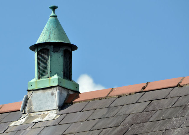
Lantern, Dromore
One of two lanterns of the roof of Banbridge Road Presbyterian church J2053 : Banbridge Road Presbyterian Church hall.
![Creative Commons Licence [Some Rights Reserved]](https://s1.geograph.org.uk/img/somerights20.gif)
|
· Find out How to reuse this image ·
Share:
|
|||||
| Start a discussion on J2053 | Suggest an update to this image | Contact the contributor | |||
Loading map... (JavaScript required)
- Grid Square
- J2053, 412 images (more nearby
 )
)
- Photographer
- Albert Bridge (find more nearby)
- Date Taken
- Saturday, 27 July, 2013 (more nearby)
- Submitted
- Saturday, 27 July, 2013
- Geographical Context
- Place (from Tags)
- Subject Location
-
Irish:
 J 200 531 [100m precision]
WGS84: 54:24.7882N 6:9.1357W - Camera Location
-
Irish: J 200 532
- View Direction
- South-southwest (about 202 degrees)
Other Tags
Image classification(about):
Supplemental image
This page has been viewed about 50 times.
View this location:
KML (Google Earth) ·
Google Maps ·
Bing Maps ·
Geograph Coverage Map ·
More Links for this image
·
Bing Maps ·
Geograph Coverage Map ·
More Links for this image