2005
SU4872 : Open Land near Marsh Lane
taken 19 years ago, near to Curridge, West Berkshire, England
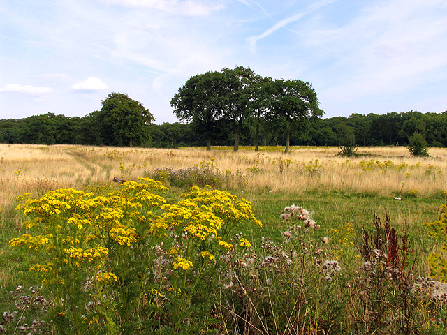
Open Land near Marsh Lane
This picture taken from the far southerly corner of the Chievely Services, looks somewhat south east towards Marsh Lane near Curridge. The square is probably farmland and evidence of the depot could not be seen. A sign indicated that this land was involved with a gravel mining company.
 Map © Crown Copyright")
TIP: Click the map for more Large scale mapping
- Grid Square
- SU4872, 41 images (more nearby 🔍)
- Photographer
- Pam Brophy (more nearby)
- Date Taken
- Monday, 8 August, 2005 (more nearby)
- Submitted
- Wednesday, 10 August, 2005
- Subject Location
-
OSGB36:
 SU 48034 72295 [1m precision]
WGS84: 51:26.8568N 1:18.6116W