2013
SU8286 : Pullingshill and Davenport Woods
taken 11 years ago, near to Lower Woodend, Buckinghamshire, England
This is 1 of 2 images, with title Pullingshill and Davenport Woods in this square
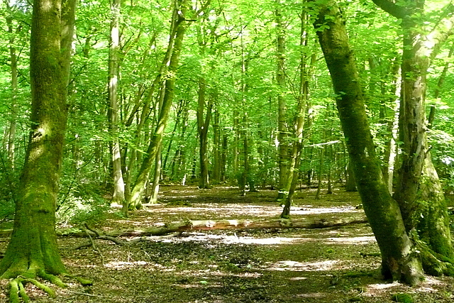
Pullingshill and Davenport Woods
Shakespeare's Way follows this footpath through the two woodlands. Pullingshill Wood, this side, is open access land. Strangely, Davenport Wood, beyond the ditch ahead that marks an ancient boundary, is private and a walker must keep to the footpath.
Shakespeare's Way
Shakespeare's Way is a 146 mile long distance footpath from Shakespeare's birthplace in Stratford-upon-Avon to the Globe theatre in London. It follows as nearly as possible a route that Shakespeare may have taken between the two, but using footpaths, quiet lanes and towpaths, rather than his tracks, which are today's main roads.
 Map © Crown Copyright")
TIP: Click the map for more Large scale mapping
- Grid Square
- SU8286, 36 images (more nearby 🔍)
- Photographer
- Graham Horn (more nearby)
- Date Taken
- Saturday, 25 May, 2013 (more nearby)
- Submitted
- Sunday, 18 August, 2013
- Subject Location
-
OSGB36:
 SU 8242 8647 [10m precision]
WGS84: 51:34.2652N 0:48.7302W - Camera Location
-
OSGB36: SU 8238 8649
- View Direction
- East-southeast (about 112 degrees)