2006
NS2152 : Burn below the waterfall
taken 18 years ago, 3 km from Fairlie, North Ayrshire, Scotland
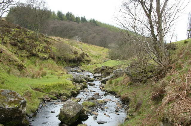
Burn below the waterfall
 Map © Crown Copyright")
TIP: Click the map for more Large scale mapping
- Grid Square
- NS2152, 27 images (more nearby 🔍)
- Photographer
- John McMillan (more nearby)
- Date Taken
- Thursday, 27 April, 2006 (more nearby)
- Submitted
- Sunday, 11 March, 2007
- Subject Location
-
OSGB36:
 NS 215 521 [100m precision]
WGS84: 55:43.7980N 4:50.6028W - Camera Location
-
OSGB36: NS 215 521
- View Direction
- North-northwest (about 337 degrees)