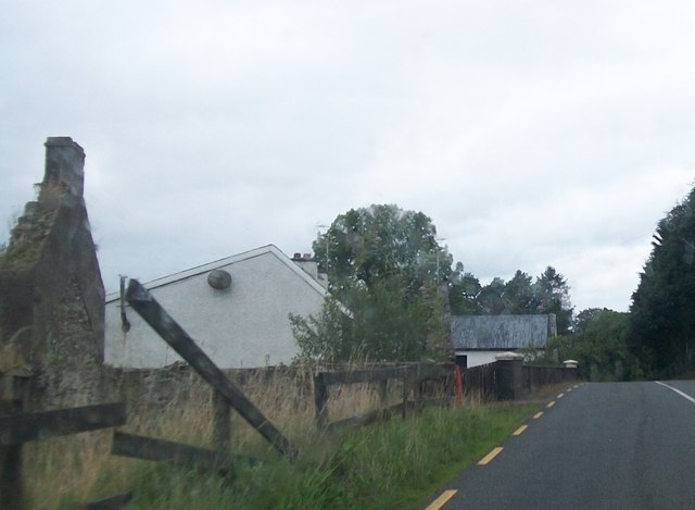
N6893 : Farm buildings alongside the R191 south of the Bororo River
taken 11 years ago, 3 km from Teevurcher, Co Meath, Ireland
![Creative Commons Licence [Some Rights Reserved]](https://s1.geograph.org.uk/img/somerights20.gif)
|
· Find out How to reuse this image ·
Share:
|
|||||
| Start a discussion on N6893 | Suggest an update to this image | Contact the contributor | |||
Loading map... (JavaScript required)
- Grid Square
- N6893 (more nearby
 )
)
- Photographer
- Eric Jones (find more nearby)
- Date Taken
- Tuesday, 20 August, 2013 (more nearby)
- Submitted
- Monday, 2 September, 2013
- Geographical Context
- Subject Location
-
Irish:
 N 682 937 [100m precision]
WGS84: 53:53.3387N 6:57.7736W - Camera Location
-
Irish: N 682 937
- View Direction
- North-northwest (about 337 degrees)
This page has been viewed about 26 times.
View this location:
KML (Google Earth) ·
Google Maps ·
Bing Maps ·
Geograph Coverage Map ·
More Links for this image
·
Bing Maps ·
Geograph Coverage Map ·
More Links for this image