H1953 : Horse Island, Lough Erne
taken 17 years ago, near to Killadeas, Co Fermanagh, Northern Ireland
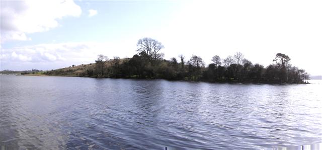
Horse Island, Lough Erne
Pictured from the edge of Rossclare, but still within the square.
![Creative Commons Licence [Some Rights Reserved]](https://s1.geograph.org.uk/img/somerights20.gif)
|
· Find out How to reuse this image ·
Share:
|
|||||
| Start a discussion on H1953 | Suggest an update to this image | Contact the contributor | |||
Loading map... (JavaScript required)
- Grid Square
- H1953 (more nearby
 )
)
- Photographer
- Kenneth Allen (find more nearby)
- Date Taken
- Tuesday, 13 March, 2007 (more nearby)
- Submitted
- Thursday, 15 March, 2007
- Category
- Islands (more nearby)
- Subject Location
-
Irish:
 H 196 538 [100m precision]
WGS84: 54:25.9428N 7:41.9237W - Camera Location
-
Irish: H 194 539
- View Direction
- Southeast (about 135 degrees)
This page has been viewed about 90 times.
View this location:
KML (Google Earth) ·
Google Maps ·
Bing Maps ·
Geograph Coverage Map ·
More Links for this image
·
Bing Maps ·
Geograph Coverage Map ·
More Links for this image