2013
TF9914 : High School and Cemetery Road
taken 11 years ago, near to Dereham, Norfolk, England
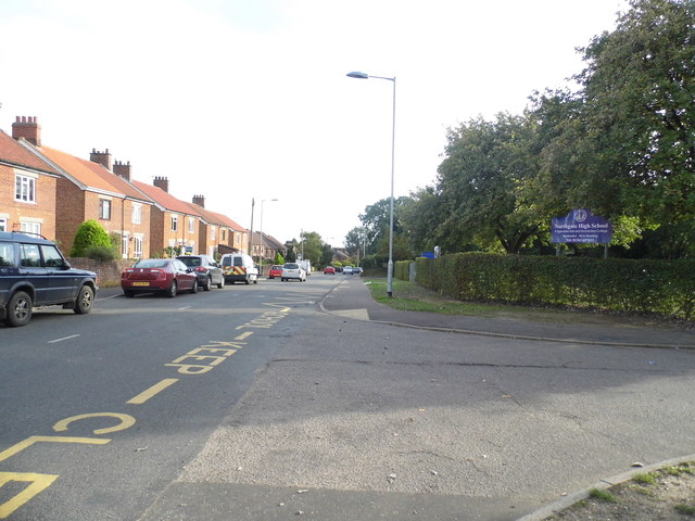
High School and Cemetery Road
The view from the High School looking south down Cemetery Road in East Dereham.
 Map © Crown Copyright")
TIP: Click the map for more Large scale mapping
- Grid Square
- TF9914, 16 images (more nearby 🔍)
- Photographer
- Dr A Barrett (more nearby)
- Date Taken
- Thursday, 26 September, 2013 (more nearby)
- Submitted
- Thursday, 26 September, 2013
- Subject Location
-
OSGB36:
 TF 9911 1405 [10m precision]
WGS84: 52:41.2517N 0:56.6700E - Camera Location
-
OSGB36: TF 9910 1409
- View Direction
- South-southeast (about 157 degrees)