2013
ND3458 : Beach south of Keiss
taken 11 years ago, 3 km from Keiss, Highland, Scotland
This is 1 of 2 images, with title Beach south of Keiss in this square
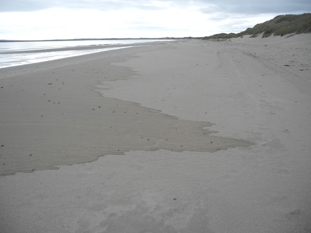
Beach south of Keiss
Farthest extent of the last high tide. GPS tagging made from GPS logger data after exposure.
 Map © Crown Copyright")
TIP: Click the map for more Large scale mapping
- Grid Square
- ND3458, 5 images (more nearby 🔍)
- Photographer
- Ingeborg Lechner and Robert Vucsina (more nearby)
- Date Taken
- Monday, 23 September, 2013 (more nearby)
- Submitted
- Sunday, 6 October, 2013
- Subject Location
-
OSGB36:
 ND 3411 5867 [10m precision]
WGS84: 58:30.6708N 3:7.9552W - Camera Location
-
OSGB36: ND 34109 58758
- View Direction
- SOUTH (about 180 degrees)