2007
TF4625 : Farm road leading to Old Leam Farm
taken 17 years ago, 3 km from Guy's Head, Lincolnshire, England
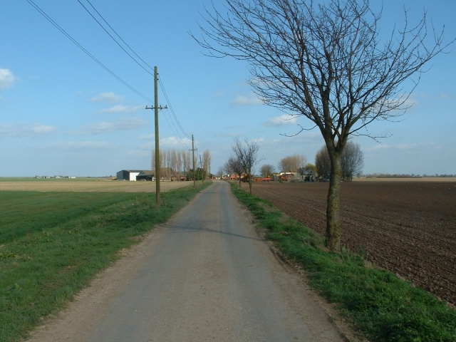
Farm road leading to Old Leam Farm
This lane leads up to Old Leam Farm, seen in the distance. A 'leam' was a river, and one of that name - in fact a drainage ditch, is nearby.
 Map © Crown Copyright")
TIP: Click the map for more Large scale mapping
- Grid Square
- TF4625, 3 images (more nearby 🔍)
- Photographer
- David Prestidge (more nearby)
- Date Taken
- Saturday, 17 March, 2007 (more nearby)
- Submitted
- Saturday, 17 March, 2007
- Subject Location
-
OSGB36:
 TF 464 255 [100m precision]
WGS84: 52:48.4306N 0:10.2538E - Camera Location
-
OSGB36: TF 462 255
- View Direction
- EAST (about 90 degrees)