2013
TF1019 : Spalding Road (B1193), Bourne
taken 11 years ago, near to Bourne, Lincolnshire, England
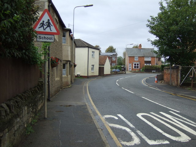
Spalding Road (B1193), Bourne
 Map © Crown Copyright")
TIP: Click the map for more Large scale mapping
- Grid Square
- TF1019, 178 images (more nearby 🔍)
- Photographer
- JThomas (more nearby)
- Date Taken
- Saturday, 12 October, 2013 (more nearby)
- Submitted
- Sunday, 13 October, 2013
- Subject Location
-
OSGB36:
 TF 1016 1995 [10m precision]
WGS84: 52:45.9555N 0:22.1262W - Camera Location
-
OSGB36: TF 10184 19960
- View Direction
- WEST (about 270 degrees)