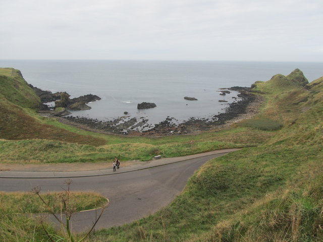
C9444 : Portnaboe from the cliff-top path
taken 11 years ago, 3 km from Portballintrae, Co Antrim, Northern Ireland
![Creative Commons Licence [Some Rights Reserved]](https://s1.geograph.org.uk/img/somerights20.gif)
|
· Find out How to reuse this image ·
Share:
|
|||||
|
There is 1 post in a
discussion on C9444 (preview on the left) |
Suggest an update to this image | Contact the contributor | |||
Loading map... (JavaScript required)
- Grid Square
- C9444, 431 images (more nearby
 )
)
- Photographer
- Eric Jones (find more nearby)
- Date Taken
- Wednesday, 25 September, 2013 (more nearby)
- Submitted
- Monday, 14 October, 2013
- Geographical Context
- Subject Location
-
Irish:
 C 942 443 [100m precision]
WGS84: 55:14.2028N 6:31.1817W - Camera Location
-
Irish: C 944 440
- View Direction
- Northwest (about 315 degrees)
Image classification(about):
Geograph
This page has been viewed about 23 times.
View this location:
KML (Google Earth) ·
Google Maps ·
Bing Maps ·
Geograph Coverage Map ·
More Links for this image
·
Bing Maps ·
Geograph Coverage Map ·
More Links for this image