2013
SW3125 : Sunset over Longships lighthouse from Land's End
taken 11 years ago, 4 km W of Sennen, Cornwall, England
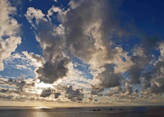
Sunset over Longships lighthouse from Land's End
From Trinity House website: Link (Archive Link )
Around the cliffs of Land's End, at the extreme south-west point of the British mainland, there is displayed during storms a wild panorama described by John Ruskin as an entire disorder of the surges ... the whole surface of the sea becomes one dizzy whirl or rushing, writhing, tortured undirected rage bounding and crashing and coiling in an anarchy of enormous power. The headland is encircled by rocks on which countless ships have been lost in heavy seas or during poor visibility. Such disasters are rare nowadays, greater safety being afforded by modern aids to navigation. Among these is the Longships Lighthouse situated one mile out to the west of Land's End.
In 1790 the area was completely devoid of any such aids and the coast dwellers gained an ample livelihood from plundering the ships driven on the rocks, of which each winter brought a full harvest. Ultimately, however, the needs of the navigators had to be met and seamarks planned in this dark region.
On 30th June 1791 Trinity House obtained a patent in the usual way after lodging a petition from seafarers, and gave a lease to Lieutenant Henry Smith by which he would erect a lighthouse on the Longships, and which fixed the rental at £100 and the term as 50 years.
A tower was soon established on Carn Bras, the largest of the Longships Rocks which rose 12m above high tides. The circular tower, designed by Trinity House architect Samuel Wyatt, had three storeys; the lowest contained water tanks and stores, the next formed a living room and the lightkeepers used as a bedroom the top storey under the wood and copper lantern. The lantern was elevated 24m above the sea, and held 18 parabolic metal reflectors and Argands, arranged in two tiers. None shone towards the land, as metal sheets blocked the windows in that direction.
Soon after lighting the tower on 29th September 1795, Smith was declared "incapable of managing the concern". Trinity House took it over and remitted the profits to his family through the Court of Chancery. The lightkeepers on the Longships led a primitive existence, cooking their meals in the lantern by the Argand lamps. The lighthouse was manned by four men, two of whom were on duty at any one time, working one month at a stretch. They received £30 per annum and free food at the lighthouse, but when ashore they provided for themselves and had to take what additional employment they might find.
However, the generosity of Trinity House to Smith's family - apparently merely because he had first proposed the light - proved much more costly than had been intended. The free profit of the lighthouse rose to £3,017 in 1831 after meeting the maintenance cost of the light of £1,183. In 1836 the profit was £8,293 and with 9½ years lease unexpired, the Corporation bought out the lessees for £40,676 inclusive of life rents.
From the terrific seas which swept over the rock during storms, the lantern was so often under water that the character of a fixed light could not be determined with certainty. This eclipse by the waves was the reason given for the replacement of Wyatt's tower by the present circular tower of grey granite built by Sir James Douglass, Trinity House engineer, in 1875. Longships Lighthouse was automated in 1988 and is now monitored and controlled from the Trinity House Operations and Planning Centre at Harwich.
 Map © Crown Copyright")
TIP: Click the map for more Large scale mapping
- Grid Square
- SW3125, 28 images (more nearby 🔍)
- Photographer
- Steve Fareham (more nearby)
- Date Taken
- Monday, 14 October, 2013 (more nearby)
- Submitted
- Tuesday, 15 October, 2013
- Subject Location
-
OSGB36:
 SW 3197 2525 [10m precision]
WGS84: 50:4.0093N 5:44.8096W - Camera Location
-
OSGB36: SW 3425 2502
- View Direction
- WEST (about 270 degrees)