H5776 : Burn, Loughmacrory / Altdrumman
taken 11 years ago, near to Milltown, Co Tyrone, Northern Ireland
This is 1 of 4 images, with title Burn, Loughmacrory / Altdrumman in this square
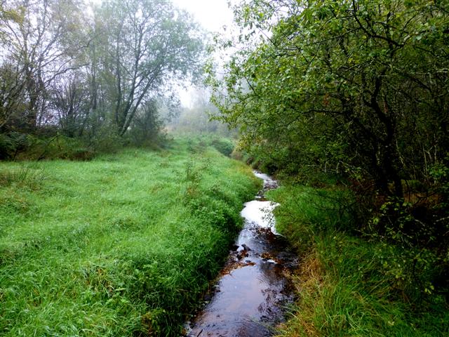
Burn, Loughmacrory / Altdrumman
It flows into Loughmacrory Lough
![Creative Commons Licence [Some Rights Reserved]](https://s1.geograph.org.uk/img/somerights20.gif)
|
· Find out How to reuse this image ·
Share:
|
|||||
| Start a discussion on H5776 | Suggest an update to this image | Contact the contributor | |||
Loading map... (JavaScript required)
- Grid Square
- H5776, 260 images (more nearby
 )
)
- Photographer
- Kenneth Allen (find more nearby)
- Date Taken
- Thursday, 17 October, 2013 (more nearby)
- Submitted
- Thursday, 17 October, 2013
- Geographical Context
- Subject Location
-
Irish:
 H 578 763 [100m precision]
WGS84: 54:37.9264N 7:6.2974W - Camera Location
-
Irish: H 578 764
- View Direction
- South-southwest (about 202 degrees)
Other Tags
Image classification(about):
Geograph
This page has been viewed about 10 times.
View this location:
KML (Google Earth) ·
Google Maps ·
Bing Maps ·
Geograph Coverage Map ·
More Links for this image
·
Bing Maps ·
Geograph Coverage Map ·
More Links for this image