J3673 : Comber Greenway
taken 11 years ago, 3 km from Belfast, Co Antrim, Northern Ireland
This is 1 of 2 images, with title Comber Greenway in this square
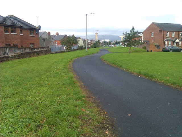
Comber Greenway
![Creative Commons Licence [Some Rights Reserved]](https://s1.geograph.org.uk/img/somerights20.gif)
|
· Find out How to reuse this image ·
Share:
|
|||||
| Start a discussion on J3673 | Suggest an update to this image | Contact the contributor | |||
Loading map... (JavaScript required)
- Grid Square
- J3673, 309 images (more nearby
 )
)
- Photographer
- David Martin (find more nearby)
- Date Taken
- Thursday, 17 October, 2013 (more nearby)
- Submitted
- Thursday, 17 October, 2013
- Geographical Context
- Subject Location
-
Irish:
 J 368 739 [100m precision]
WGS84: 54:35.7213N 5:53.0343W - Camera Location
-
Irish: J 368 739
- View Direction
- West-northwest (about 292 degrees)
Image classification(about):
Geograph
This page has been viewed about 34 times.
View this location:
KML (Google Earth) ·
Google Maps ·
Bing Maps ·
Geograph Coverage Map ·
More Links for this image
·
Bing Maps ·
Geograph Coverage Map ·
More Links for this image