2013
NX9790 : Forestry bridge over a burn
taken 11 years ago, near to Ae, Dumfries And Galloway, Scotland
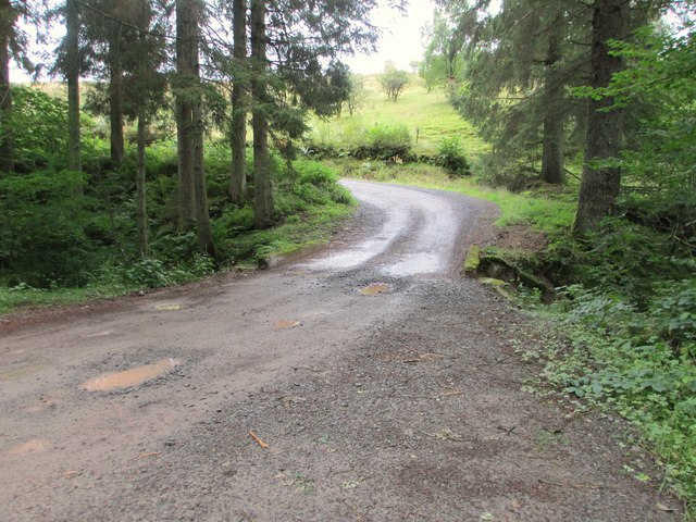
Forestry bridge over a burn
 Map © Crown Copyright")
TIP: Click the map for more Large scale mapping
- Grid Square
- NX9790, 16 images (more nearby 🔍)
- Photographer
- Ann Cook (more nearby)
- Date Taken
- Tuesday, 17 September, 2013 (more nearby)
- Submitted
- Tuesday, 22 October, 2013
- Subject Location
-
OSGB36:
 NX 9786 9053 [10m precision]
WGS84: 55:11.9064N 3:36.3732W - Camera Location
-
OSGB36: NX 9788 9054
- View Direction
- West-southwest (about 247 degrees)