2010
SX0484 : Bombing range quadrant shelter-now a holiday let!
taken 14 years ago, near to Treligga, Cornwall, England
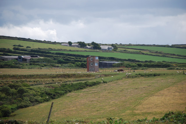
Bombing range quadrant shelter-now a holiday let!
The main quadrant shelter for the Treligga bombing/firing range which closed in the mid 50's. After extension and modification it now forms a unique holiday let overlooking Port Isaac Bay.
 Map © Crown Copyright")
TIP: Click the map for more Large scale mapping
- Grid Square
- SX0484, 32 images (more nearby 🔍)
- Photographer
- John Anderson (more nearby)
- Date Taken
- Sunday, 11 July, 2010 (more nearby)
- Submitted
- Monday, 2 December, 2013
- Subject Location
-
OSGB36:
 SX 0468 8482 [10m precision]
WGS84: 50:37.8166N 4:45.7884W - Camera Location
-
OSGB36: SX 0457 8531
- View Direction
- South-southeast (about 157 degrees)