2007
NR8388 : Burn running under the track
taken 17 years ago, near to Lochgilphead, Argyll And Bute, Scotland
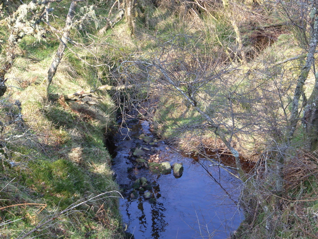
Burn running under the track
 Map © Crown Copyright")
TIP: Click the map for more Large scale mapping
- Grid Square
- NR8388, 3 images (more nearby 🔍)
- Photographer
- Alan Davidson (more nearby)
- Date Taken
- Monday, 26 March, 2007 (more nearby)
- Submitted
- Monday, 26 March, 2007
- Subject Location
-
OSGB36:
 NR 838 883 [100m precision]
WGS84: 56:2.3188N 5:28.2977W - Camera Location
-
OSGB36: NR 838 882
- View Direction
- Northwest (about 315 degrees)