SJ9398 : Reflections and silhouettes
taken 10 years ago, near to Ashton-Under-Lyne, Tameside, England
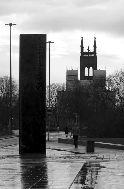
St Peters Church was built between 1821 and 1824, and was designed by Francis Goodwin in a free Perpendicular style constructed in ashlar stone with a slate roof. The church is an example of a Commissioners Church built with money voted by Parliament as a result of the Church Building Act of 1818 and 1824 (Link
). It is a Grade II* listed building (English Heritage ID:212664); in the listing text (Link
An intriguing feature of the church is the clock in the east gable which is driven by a shaft extending the length of the church from the mechanism in the west tower.
During 2013-14 a programme of refurbishment of the east end of the church was carried out.
More information can be read at: Link
 Map © Crown Copyright")
- Grid Square
- SJ9398, 686 images (more nearby 🔍)
- Photographer
- Alan Murray-Rust (more nearby)
- Date Taken
- Tuesday, 7 January, 2014 (more nearby)
- Submitted
- Saturday, 11 January, 2014
- Subject Location
-
OSGB36:
 SJ 9331 9870 [10m precision]
WGS84: 53:29.0984N 2:6.1371W - Camera Location
-
OSGB36: SJ 9333 9871
- View Direction
- West-southwest (about 247 degrees)