J3773 : GPO access cover, Belfast
taken 10 years ago, 4 km W of Dundonald, Co Down, Northern Ireland
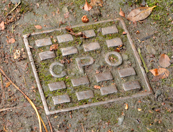
GPO access cover, Belfast
A small GPO (telephone) access cover at the Sandown Road end of the Kings Road.
Manhole covers, foundry products etc, Northern Ireland
A series of photographs showing manhole covers, fire hydrants, gratings, foundry products, foundry plaques and inscriptions etc, in Northern Ireland.
![Creative Commons Licence [Some Rights Reserved]](https://s1.geograph.org.uk/img/somerights20.gif)
|
· Find out How to reuse this image ·
Share:
|
|||||
|
There is 1 post in a
discussion on J3773 (preview on the left) |
Suggest an update to this image | Contact the contributor | |||
Loading map... (JavaScript required)
- Grid Square
- J3773, 403 images (more nearby
 )
)
- Photographer
- Albert Bridge (find more nearby)
- Date Taken
- Tuesday, 14 January, 2014 (more nearby)
- Submitted
- Tuesday, 14 January, 2014
- Geographical Context
- Place (from Tags)
- Subject Location
-
Irish:
 J 378 737 [100m precision]
WGS84: 54:35.5748N 5:52.0578W - Camera Location
-
Irish: J 378 737
- View Direction
- East-southeast (about 112 degrees)
Other Tags
Image classification(about):
Supplemental image
This page has been viewed about 45 times.
View this location:
KML (Google Earth) ·
Google Maps ·
Bing Maps ·
Geograph Coverage Map ·
More Links for this image
·
Bing Maps ·
Geograph Coverage Map ·
More Links for this image