2007
SJ5604 : Lane to Harnage
taken 17 years ago, near to Cound, Shropshire, England
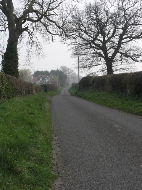
Lane to Harnage
This lane, from Cound, leads through Harnage and on to Cressage.
 Map © Crown Copyright")
TIP: Click the map for more Large scale mapping
- Grid Square
- SJ5604, 20 images (more nearby 🔍)
- Photographer
- Michael Patterson (more nearby)
- Date Taken
- Tuesday, 27 March, 2007 (more nearby)
- Submitted
- Saturday, 31 March, 2007
- Subject Location
-
OSGB36:
 SJ 562 045 [100m precision]
WGS84: 52:38.1883N 2:38.9014W - Camera Location
-
OSGB36: SJ 560 046
- View Direction
- Southeast (about 135 degrees)