2007
TF0051 : Bridleway to Cranwell
taken 17 years ago, near to Cranwell, Lincolnshire, England
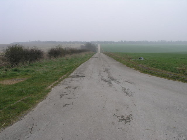
Bridleway to Cranwell
This surfaced bridleway leads to RAF Cranwell which is just beyond the trees on the horizon.
 Map © Crown Copyright")
TIP: Click the map for more Large scale mapping
- Grid Square
- TF0051, 14 images (more nearby 🔍)
- Photographer
- Michael Patterson (more nearby)
- Date Taken
- Friday, 30 March, 2007 (more nearby)
- Submitted
- Saturday, 31 March, 2007
- Subject Location
-
OSGB36:
 TF 007 515 [100m precision]
WGS84: 53:3.0986N 0:29.9485W - Camera Location
-
OSGB36: TF 006 517
- View Direction
- SOUTH (about 180 degrees)