SU8630 : New Lipchis Way, Stanley Common
taken 10 years ago, near to Linchmere, West Sussex, England
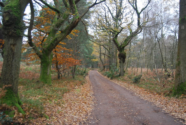
Stanley Common is a partly wooded heathland, to the SW of Linchmere in West Sussex. The area is crossed by The Sussex Border Path, New Lipchis Way and Serpentine Trail.
The New Lipchis Way is a 38 mile long distance footpath which runs from Liphook in Hampshire to West Wittering in West Sussex. Running northsouth across the Western Weald and South Downs to the Sussex coastal plain and Chichester Harbour the path crosses several geological rock strata and their associated soils and habitats. Landmarks on the route include Cowdray ruins, Goodwood Racecourse, the Trundle, Chichester Cathedral and the city walls, and East Head at West Wittering.
The logo is a boat, with a river and downs SU8530 : New Lipchis Way Logo, Stanley Common.
Wikipedia: Link
 Map © Crown Copyright")
- Grid Square
- SU8630, 78 images (more nearby 🔍)
- Photographer
- N Chadwick (more nearby)
- Date Taken
- Sunday, 1 December, 2013 (more nearby)
- Submitted
- Tuesday, 28 January, 2014
- Subject Location
-
OSGB36:
 SU 8608 3003 [10m precision]
WGS84: 51:3.7898N 0:46.3789W - Camera Location
-
OSGB36: SU 8611 3001
- View Direction
- West-northwest (about 292 degrees)